Wednesday, February 26, 2014

City of Rocks, New Mexico


 We hated to leave Arizona, but leave we did, and entered New Mexico on Hwy. 70 west of Lordsburg. We decided we wanted to check out the Gila National Forest near Silver City, a place neither of us had ever been.  Most of the campgrounds in the 3,321,000 acre Forest are closed this time of year, so we camped at City of Rocks State Park east of Silver City and drove the nearby loop inside the forest from the luxury of the Volvo. That way we could enjoy the elevation changes and twisty turns without worrying about the Pickle’s road worthiness (or gas mileage.)

City of Rocks State Park is a kind of Joshua Tree “wanna-be”. It’s an outcropping of similarly formed rocks that sprout from the desert.  It’s a sort of natural Stonehenge that emanates, IMO, as much spiritual mojo as its English manmade rival.  But the wind doth blow at City of Rocks, because these rocks sit in a huge flat deserty valley, and on the west side of this valley is one of the largest open pit copper mines in the southwest. And when it’s windy, a fine, fine dust blows across the valley, some of it reaching the campground. It’s an immediate irritant for anyone with dust allergies. Michael is one of those people, so our first windy afternoon and evening there were quite miserable for him.


 The next day was less windy, and we drove into the Gila National Forest.  It was sunny, beautiful and not dusty.  We drove through miles and miles of desert- forested hills, dry creek beds and ancient history. This was home to Geronimo, and before that, the Mogollan people who built their homes in cliffs in the late 1200s. We toured those Gila cliff dwellings by walking the mile-long canyon loop. Much of the stone walls and timber beams are original and long outlasted the culture that inhabited them.

Tuesday, February 18, 2014

Kartchner Caverns


Kartchner Caverns State Park is a few miles south of Benson, AZ, on Hwy. 90. Even though we’re only 40 miles northeast of Patagonia, the desert is different.  This is Cochise country (as well as Cochise County) and the Dragoon Mountains where the Apaches hid out for years in the late 1800s are visible across the expansive valley that is the setting for the campground. Towering buttes rise behind the park.

I walked the Foothills Loop Trail at the campground two mornings in a row. Rated “moderate to difficult,” it’s a rocky, up- and- down, narrow path that skirts the side of a tall hill to get to an even taller one - a challenge for a balance-impaired bursitis sufferer – all the more reason to feel an Olympic elation once I’d crossed the finish line.


We found Don and Judy from Boise Idaho at Kartchner. We had met them first at Patagonia Lake State Park when they spotted our Springer. They have two, Buddy and Beau, both of them rescued last spring. Don and Judy are also experiencing their first year of retirement in an RV driving around the southwest. We were happy to share road stories and form our own small group of Springer’s Anonymous.

A few of 1000 steps in Bisbee
Our second day at Kartchner we drove south to Bisbee, an old mining town turned hippie/funky/artsy perched on steep hills. We were glad we were driving the Gherkin, not the Pickle, as we climbed the grade to the town (Bisbee elevation: 5530 ft.) and as we wound through the streets looking for parking places. After lunch at Contessa’s we headed northeast out of town to McNeil and the Arizona Fish and Game Refuge on the south end of the Whitewater Draw. There, thousands upon thousands of sand hill cranes spend the winter months – truly an impressive sight.
                                                                         Bisbee wall art


Another day we visited Tombstone, silver mining, wild west home of the Earp brothers , Ike and Billy Clanton and the OK Corral.

Monday, February 10, 2014

Patagonia Lake State Park


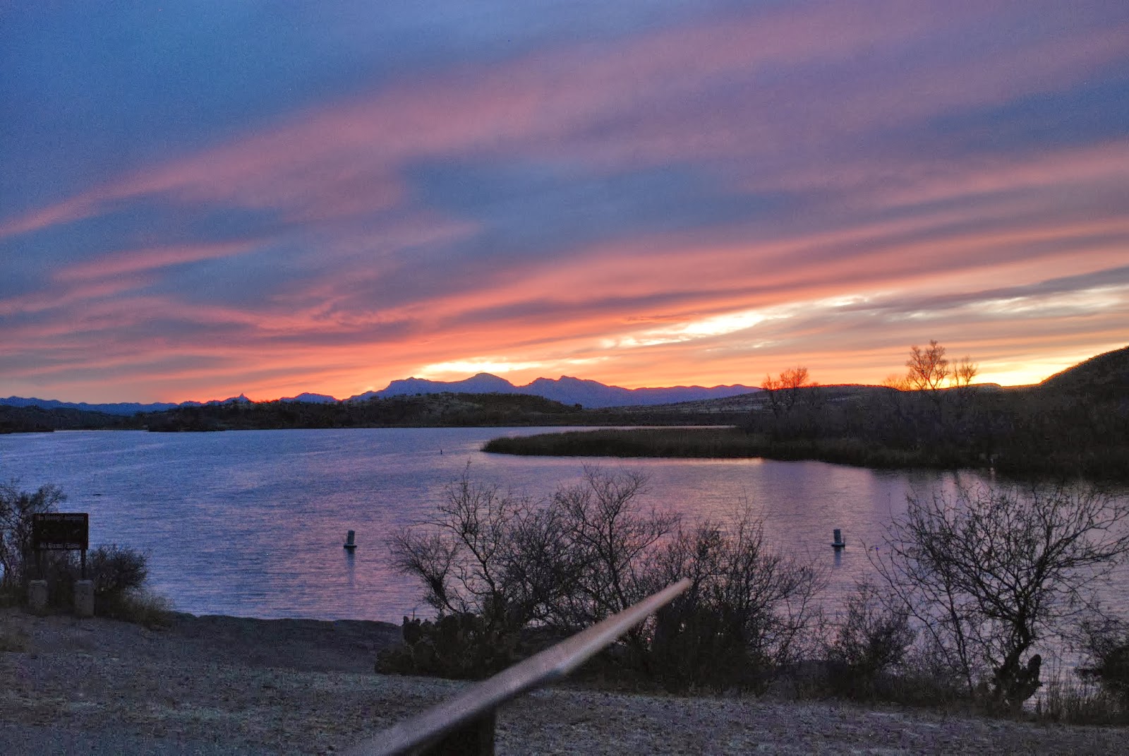
I guess we like it here.  Our first camping reservation was for 5 nights, then we added 3, and soon after that we signed up for 6 more. We love the mountains dotted with barrel cacti and scrubby mesquite trees.  The canyon panoramas expand our hearts.  Sunsets are inspiring, and this lake!  This 265-acre dammed up lake, fed by Sonoita Creek lies calmly in a broad valley, sun sparkling water edged by tall reeds inviting many species of water fowl. The surrounding woods of mesquite, cottonwoods and sycamores host all sorts of seasonal and permanent birds.

     It was our first time on the birding trail which leaves from the east end of the campground, when we happened upon a man and a woman armed with a camera that sported a lens about a mile long. They were shooting photos of the resident Elegant Trogon, perched on a nearby branch. It hung around for quite a while, flitting from one tree to another, branch to branch, then sitting stock still for the photographers. Michael snapped hundreds of pictures – close ups.  This is when we found out that birders come to the park just to catch sight of the Trogon – and many go away disappointed. It’s an elusive bird. Funny that we just naively happened on it without even trying.

    Ruby crowned kinglets, canyon towhees, finches, cardinals, robins, western bluebirds, verdins, and flycatchers abound …. Oh, and I love watching the Great Blue Heron by the marina, as well as the coots, egrets, mallards, cormorants and cinnamon teal, and at dusk the night herons fly in to perch by the water.

  
 Since this is a state park, and February in Arizona is equivalent to July in northern Michigan, rangers provide activities. There are guided bird walks three days a week, Saturday evening programs at the Visitor’s Center, weekend pontoon boat rides around the lake, and, of course, the daily/weekly updated ongoing bird count list.


We're going to move on in a couple of days, but I'm as certain as I can be that these two snowbirds will return to this oasis next year.