Monday, February 29, 2016

Itinerant Snowbirds


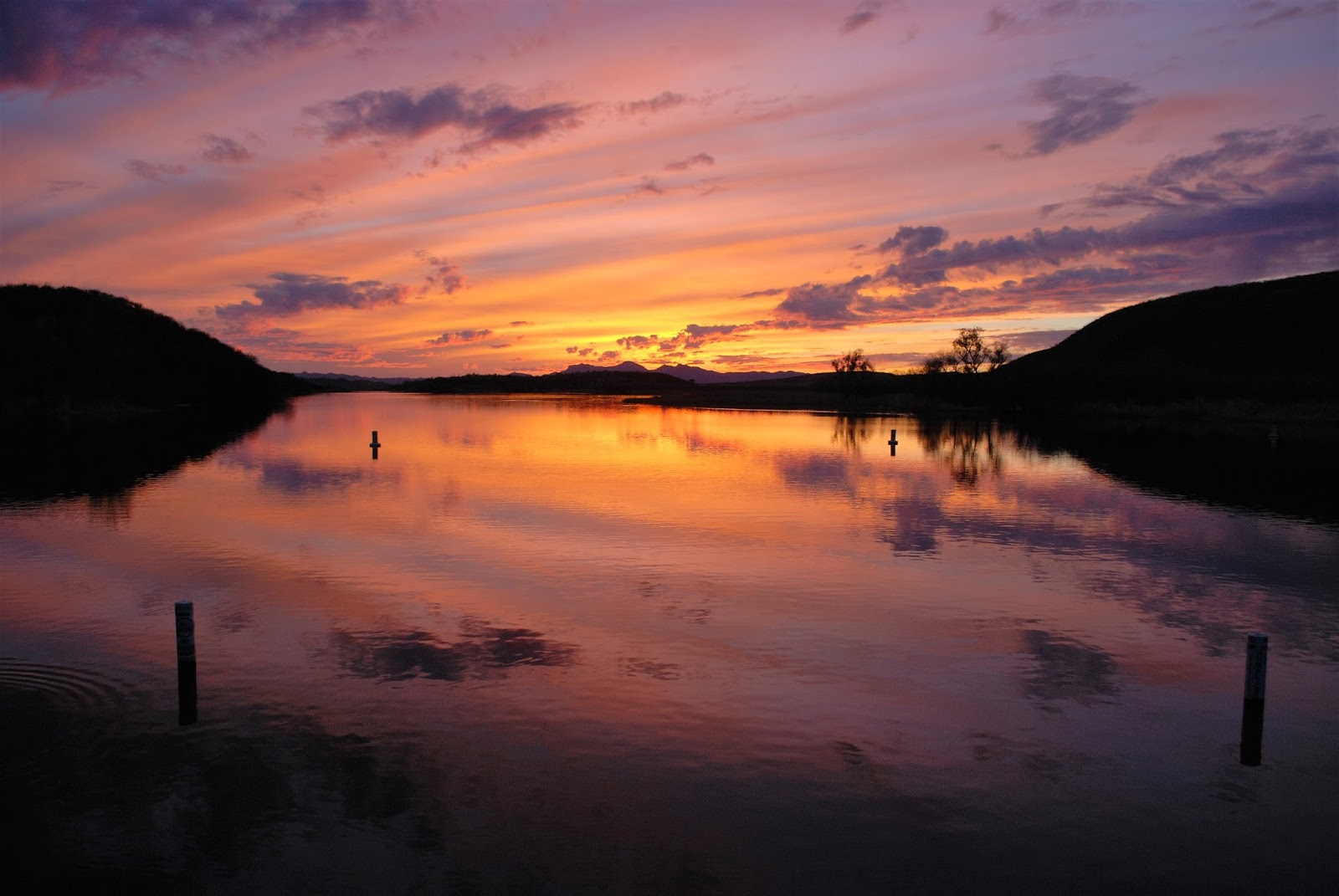
Just a few sunset pictures taken at Patagonia Lake in Arizona.

Nina posed for her photo in front of the entrance to Rockhound State Park near Deming, NM. Yes, rocks abound at Rockhound. A person is allowed to carry out 15 pounds of them, if he should so choose.

When you get into southern New Mexico campgrounds, one thing you notice right away is the small number of 1/2 million dollar giant-sized motor homes. The ostentatiousness level drops remarkably. How about this 1967 Shasta which was home to a single gentleman? Oh, and then there's the 1977 GMC (aka The Pickle,) home to a couple of snowbirds from MI.
Itinerant Snowbirds.

Sunday, February 28, 2016

Full Moon and Starry Nights


Also unlike last year, we had the Mini in which to cruise, so we widened our scope of the Park a bit. Ajo Mountain Drive is a pretty rough and rocky road that takes you up around Ajo Mountain, past a couple of canyon trailheads and a natural arch. The Mini prevailed mostly unscathed as Michael skirted ruts and small boulders to avoid puncturing the oil pan.  I don’t think anyone considers a Mini Cooper a high clearance vehicle.
Highway 2 in Mexico
Ditto to the skirting as we drove on a similar road that took us to Quitobaquito Spring. This drive was 15 miles in and 15 out. It’s a road that runs parallel most of the way to the fence separating us from Mexico. Mexican Highway 2 runs on the other side.  Worth the wash boarded slow-going bump-fest, Quitobaquito is an oasis in a desert, a spring fed pond that is home to the endangered Mexican pupfish, a two to three inch fish that lives only in this habitat. (Oh! And by the Park’s Visitor Center in a manmade pond - an Ajo Middle School project in 2006.) Four coots and a duck swam on Quitobaquito pond. A couple of cottonwood trees grew at its edge – amazing to see in a landscape of saguaro cacti, creosote shrubs and salt bushes.

Noteworthy during our stay at Organ Pipe was the February full moon.  Back in MI it was called the Snow Moon which makes sense, but what is it called in Arizona?

Ajo Mountain Drive and Natural Arch


Wednesday, February 17, 2016

Birding Trail


Look who we found on the birding trail! (besides the birds, that is.) 
One of the main things we like to do here at Patagonia Lake State Park (between the towns of Patagonia and Nogales, AZ) is stare into our binoculars and try to identify birds. Amateurs we are. There’s a birding trail on the east end of the park that runs along Sonoita Creek. This time of the year you may see the year-round avian residents, song birds and water fowl, as well as the wintering birds. An Elegant Trogon or two live here too, and get a whole bunch of attention from birders greedy for a sighting.

This year, since our 2-week stay included the 3-day President’s Day weekend, Annie decided to join us. Annie, from Petaluma, CA, who worked as an avian field technician for 8 years, banding and IDing those feathered critters, was able to share some of her finely tuned knowledge of bird details with us.

So birding we did - on the trail and around the campground. There’s a vermilion flycatcher that we see every day flitting about our campsite and a phainopepla that often perches in the day-use area.

Sunday morning we took the pontoon boat Birding Tour around the east end of Patagonia Lake.  Our big reward on that trip was seeing four or five Great Blue Herons perched in a tall cottonwood treetop.

Later that day we drove to Whitewater Draw, a DNR Natural Area where thousands of Sandhill cranes hang out December through March.  Annie had never been there. Michael and I had camped a night there the previous weekend before coming to this campground. By camping there you can get in on the cranes’ early morning very noisy departure for their day’s feeding ground. Then they all come back to the Draw around noon. Big birds in flight.
Great Blue Herons above, Cranes below
    
and the Elegant Trogon


Thursday, February 11, 2016

Border Crossing


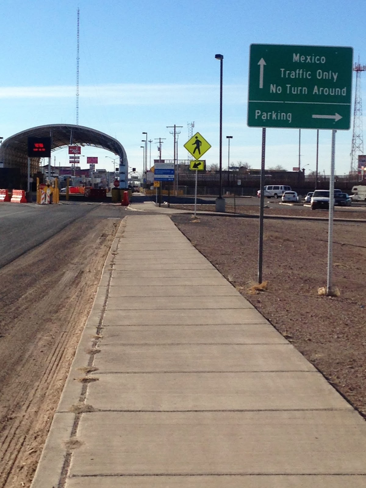
Last Friday (February 5th) we drove from Davis Mountain State Park near Ft. Davis, Texas, through El Paso on I-10 to Hwy. #9 which runs across the southern edge of the skinny part of New Mexico.  Halfway across that part is Columbus, NM, and Poncho Villa State Park – another rerun from last year. Only this time, the sun was shining and we had a beautiful afternoon to stroll the campground.

Later, while sitting in the Pickle, around 4:30, we couldn’t help but notice a stream of school buses going past the campground toward Palomas, the Mexican town just across the border, only about 2 miles from the campground. Why? We wondered. Would school buses cross the border for cheap gas? Unlikely. Then we saw the buses coming back the other way, past the campground again, back into Columbus.  We got in the mini and decided to go see if we could answer our question.

As we reached the border town, I Googled “Columbus NM school buses crossing the Mexican border” and found a great article that had aired on NPR in March, 2014. It told about the 400 plus Mexican students who cross the border and attend Deming schools every day. First through fifth grades go to the elementary in Columbus. Jr. High and High School students are bused 30 minutes to Deming. These are children who are US citizens as they were born in the Deming hospital, the closest hospital to Palomas, Mexico.

Allowing students to cross the border to go to school in the United States is nothing new. It’s been going on in Columbus since the ‘50s, but has recently churned up more controversy. Deming School District, however, stands by its dedication to educate its neighboring children.

Saturday, February 6, 2016

Heat Seeking

    A week ago we spent two nights in Ft. Worth, TX, at Sharon and Gary's. (Sharon is Michael's sister.) The weather was superb. 75ish, sunny, not a cloud in the sky. Saturday afternoon Emma and Henry (Sharon and Gary's grandchildren : 5 yrs. and 16 mo.) along with their parents came over to play. Imagine Nina's excitement to have two short ball throwers in the backyard!!
   We left Ft. Worth Sunday morning, heading west on I-20. Our plan was to NOT go south to Big Bend Nat. Park this year. We thought we'd do more of New Mexico - like Roswell, the somewhat famous site of  UFO crashes in 1947. However a glance at my weather app told me decisively that Roswell, Alamogordo and really all of NM, along with western Texas was headed for a giant dive in night time temps. Forecasts showed 21, 22 23 degrees for those parts the next few nights. In fact, the only places it was predicted to stay even close to 30 were in southern Texas.
   Another plan change! We happened to camp that night (the last warm night) near Colorado City, TX, at Colorado City Lake State Park. A smallish road ran south from there. (Michael LOVES driving on the gray roads! ((gray on the map))) The next morning we took it.
   Tuesday night we stayed at Seminole Canyon near Comstock, TX, site of cliff dwellings and petroglyphs. We had spent time there last year touring the canyon. A beautifully warm late afternoon and evening awaited us there, warm enough for shorts and dinner outside. And then the BIG BLOW!  That gray layer that had covered the sun at sunset making the sun visually disappear into nothingness on the horizon? That layer? That must have been the dusty wind that was headed our way. Holy cow! What a blow! Not much we could do but sit in our rocking motor home listening to the wind whooshing and whistling around us. By 9:00 pm it was over. The temperature had dropped 14 degrees. We put our shorts away.
  The next two nights we stayed in Big Bend, one night at Rio Grande Village campground and the next night on the other side of the park at Cottonwood Campground. The afternoons were sunny and 55ish. The nights were chilly, a little less than 30. Since there are no electrical hookups at Big Bend, we relied on our trusty propane furnace to warm us in the mornings.
  It's been dry at Big Bend. That area has received none of the el Nino rains this winter. So the pond/water habitat at Rio Grand Village is a quarter of the size it was last year. And the ocotillos dotting the hillsides along the river look grayish-dead showing no color at all. The river itself at that point separating Mexico from the U.S. is little more than a stream.
   Leaving the Rio Grande behind, we drove north and spent our last night in TX at Davis Mountain State Park, one of the "darkest" areas in the U.S. and home of unbelievable night time star displays. Now this is at a higher elevation and we knew it was going to be cold. It was. The morning temp yesterday was 18!!! However, we were plugged in. We had our electric heaters running and Michael and antifreezed the macerator.
  We've said our good-byes to Texas for this year. Warmth awaits us in Arizona!?!

Rio Grande River, Big Bend


Chizos Mountains, Big Bend
Texas countryside
Ditto

Saturday, January 30, 2016

The Mini Does the Big Easy

Martha & Joan
Michael & Croc
 You know there were two states in our continental United States I had never experienced - Mississippi and Louisiana.
 Now I have.
  After we left Gulf State Park, Gulf Shores, AL, we drove through Mobile and then headed out on Highway 90 (NOT I-10) to drive along the Gulf coast of Mississippi.  The road hugs the coast much of the way going through Pascagoula, Beloxi and Gulfport.  We drove past miles of beautifully clean new beachfront sporting small palm trees in Biloxi and past some lovely new and rebuilt southern-style homes in Pass Christian
and Long Beach. Across the highway from Biloxi's beachfront are many vacant lots, most of them for sale. They're remaining evidence of Hurricane Katrina's devastation 10 years ago when this whole coastline was obliterated.
   Highway 90 took us right into New Orleans and to Pontchartraine Landing RV Park and Marina on the northeast side of the city. We got settled into our #63 site in this Big Boy RV Park just before the gray sky gave way to a deluge of rain. Rain continued for the rest of the day and most of the night, what seemed like inches of water. The gravel parking lot quickly became a lake. Let me just say that the only thing worse than staying in a small-fry RV on a rainy night is staying in one with a wet dog. But of course we did.

Café Soule, St.Louis St.
Beer and a latte
 Fortunately by morning the rain had stopped and most of the water had soaked into the ground. We left Nina in the Pickle and took off in the Mini to see a bit of New Orleans. Broad St. took us downtown to the French Quarter. The Mini is just the right size for maneuvering the narrow brick streets of the Quarter and, after getting a feel for the place, we parked and walked. Decatur Street runs along the Mississippi River and acts as a "front" to the Quarter. This is where you'll find the kitschiest souvenir shops, all hawking Mardi Gras paraphernalia and tee shirts. Michael even had his picture taken with a festive Monsieur Crocodie. We walked the street, with a stop at a building housing a National Park exhibit that detailed the history and cultural influences of the  area. We finally arrived at the gilded Joan d'Arc statue. That's where I wanted my photo taken.
                                           We realize our late morning to early afternoon stroll was quite different from the evening and late night revelry that occurs during the Mardi Gras season. We're okay with that. Our revelry consisted of a latte and a Lazy Magnolia beer at Café Soule.


Friday, January 22, 2016

Friday, January 22, 2016

Gulf State Park near Gulf Shores Alabama. That's where we are!
The park, with its 496 campsites, 2 small inland lakes and miles of paved biking/walking trails sits across the Boulevard and down the road from the Gulf's surf and sandy beaches.
  Coming here was not our original intent.  In fact no where on our very flexible, ever changing itinerary did we consider Gulf Shores.  Our arrival here has to do with what we left behind in Michigan and what we brought with us. We left behind typical January cold  temperatures and a good covering of snow. We brought with us the family cold (meaning virus.) By the second day into the trip when we were resting snuggly at my sister and brother-in-law's house in Knoxville and we saw the forecasted cold snap predicted for the next few days in the upper southern states, we made our decision. Head south. Drop the planned southwesterly route. Make a beeline for warmer temps. Once we're feeling healthy again we can head west.
And here we are. We're feeling better now, but still plagued with lingering coughs. After a few days of 55 - 60 temps, today is cooler and VERY windy. No day to drive the Pickle, so we'll stay put a few more. We have a reservation until Tuesday.
Ready to leave Ypsilanti,
January 14th


First night out near Georgetown,
Kentucky